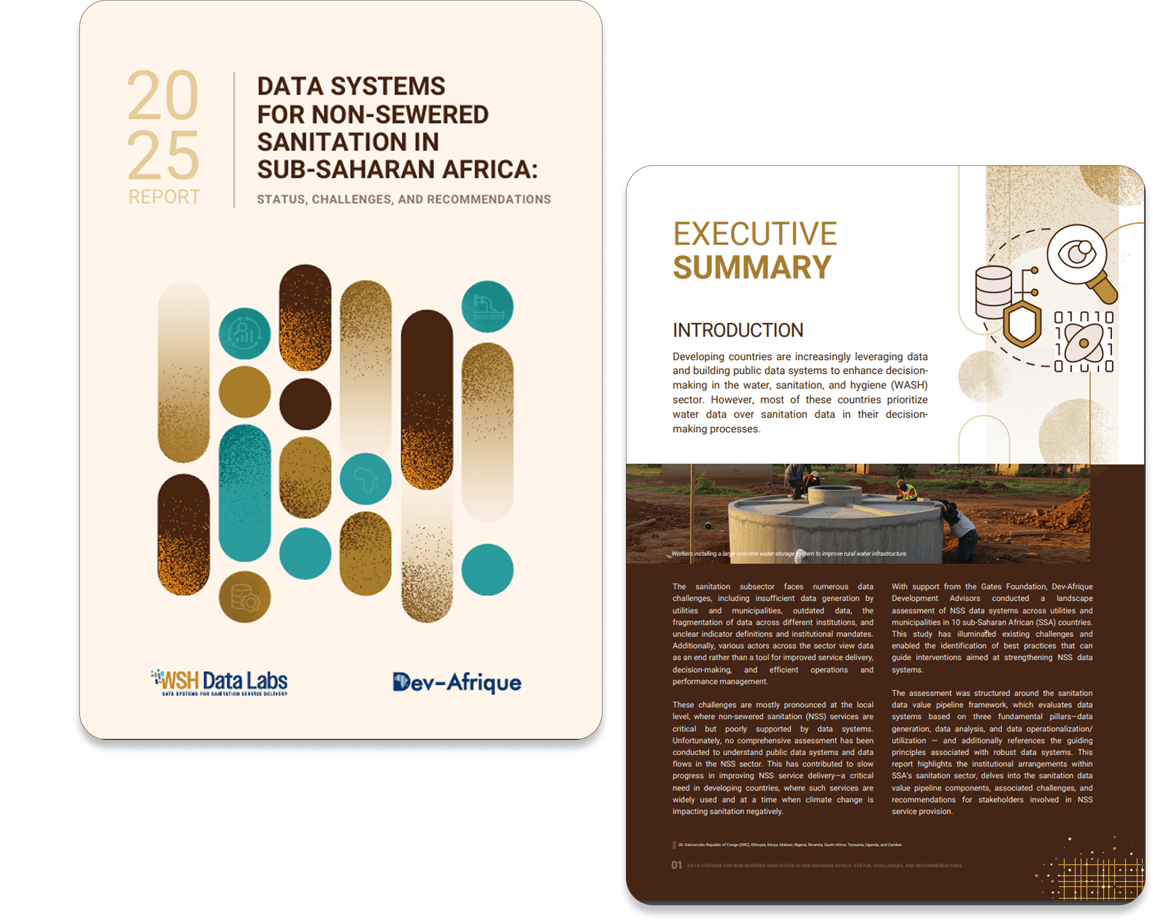
Mapping the future of Non-Sewered Sanitation Systems
The NSS Landscape Assessment initiative focuses on identifying and addressing data gaps in non-sewered sanitation systems across Sub-Saharan Africa. These systems are essential for millions of people but are often hindered by fragmented data and poor integration.
Through extensive stakeholder engagement and field assessments across eight countries—including Kenya, Nigeria, Zambia, and Uganda—WSH Data Labs has mapped data flows, identified challenges, and co-developed solutions with utilities, municipalities, and regulators. This work provides a roadmap for strengthening sanitation data systems and improving service delivery.

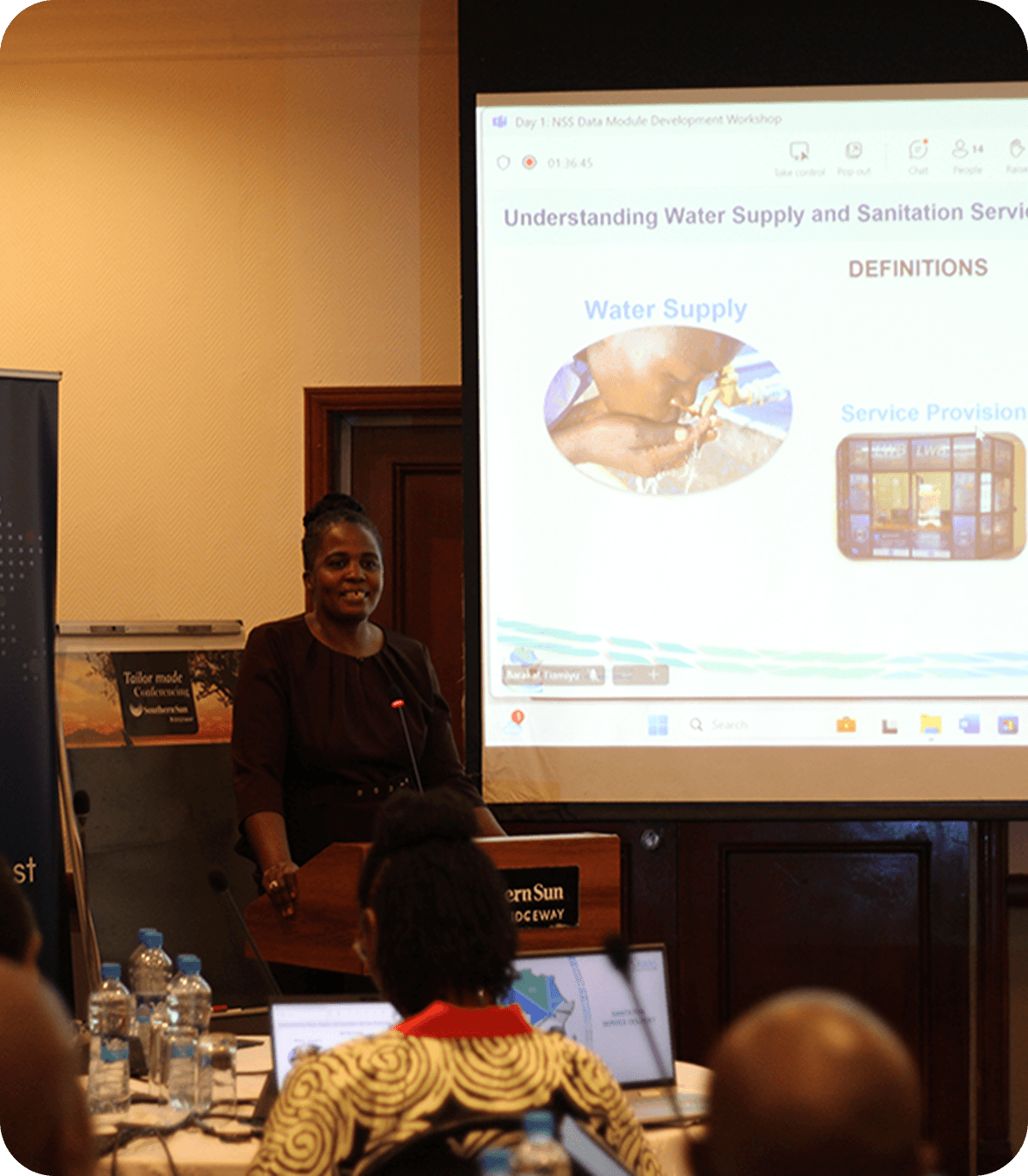
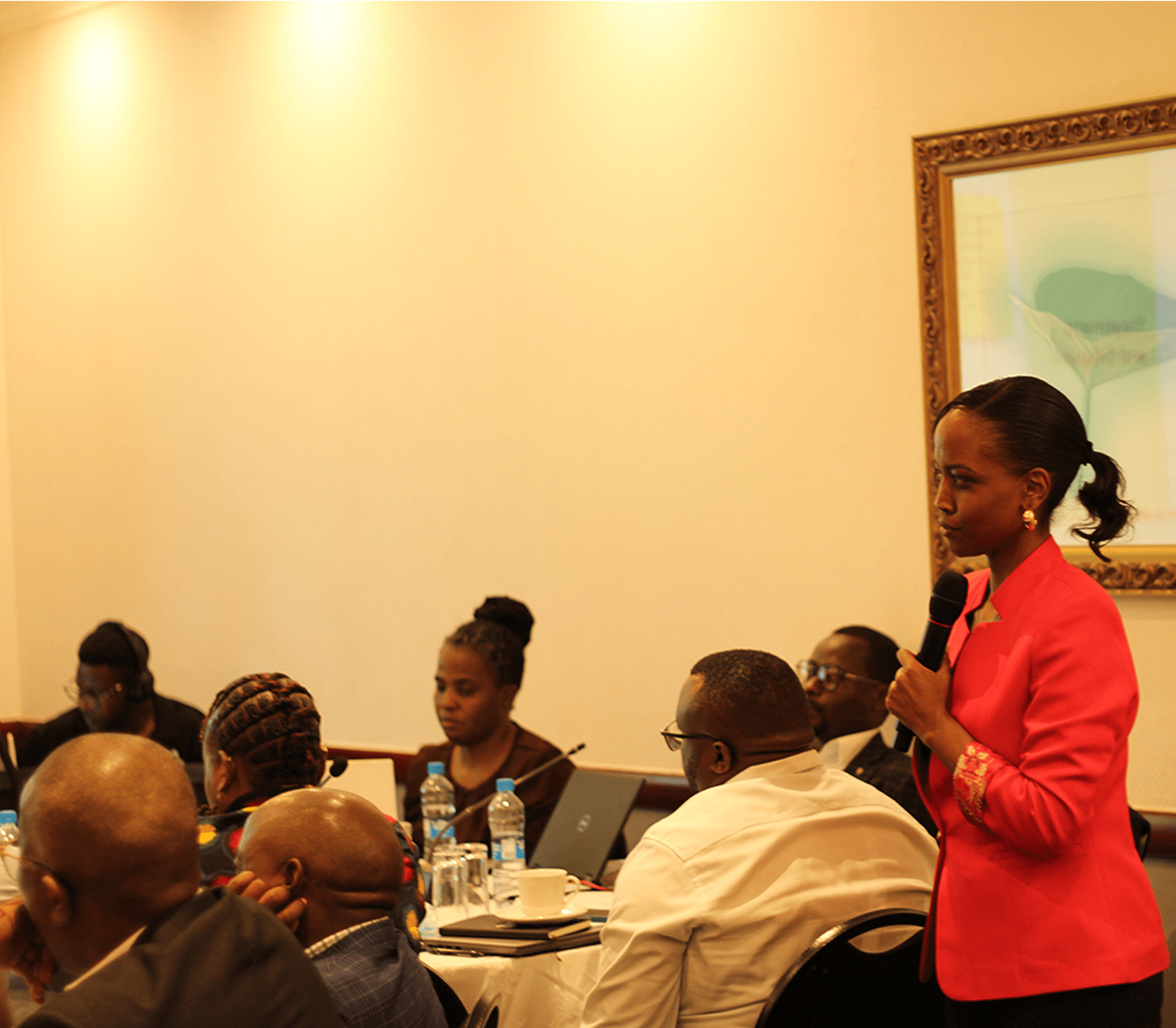
Key Activities
- Conducted workshops to identify integration opportunities between health and sanitation data.
- Launched pilot projects in municipalities to test aligned data systems.
- Developed resources highlighting the benefits of integrated approaches.
Outputs
NSS Landscape Report, offering a clear understanding of data gaps and opportunities.
Technical guidance documents for improving data integration and operationalization.
Learning briefs summarizing key findings and best practices.
Impacts
- Conducted workshops to identify integration opportunities between health and sanitation data.
- Launched pilot projects in municipalities to test aligned data systems.
- Developed resources highlighting the benefits of integrated approaches.